-
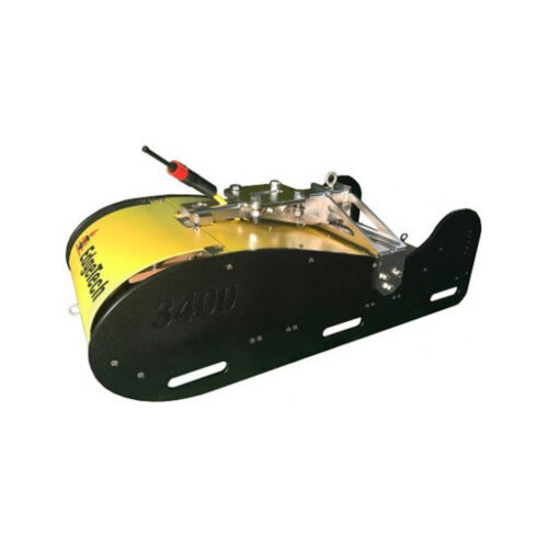
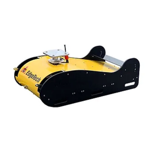
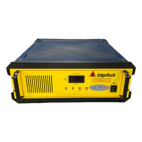
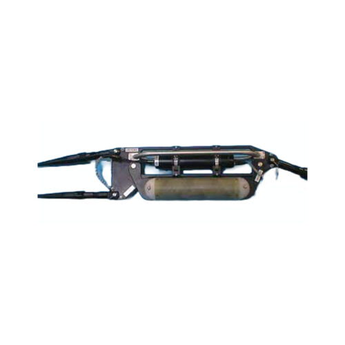
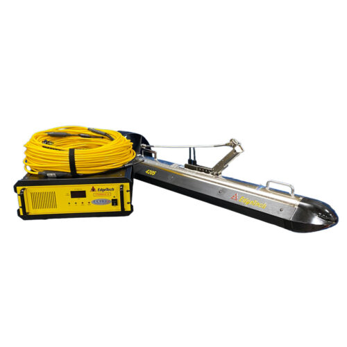 Equipment rental to supply 4205 Tri-Frequency Side Scan Sonar enabled with Magnetometer Interface and comes with Side Scan Sonar frequencies of 100/400/900 or 300/600/900 kHz. Comes with Starmux IV rack mountable topside interface, 15-meter winch deck cable, 15-meter on-deck test cable, AC power cord, and Ethernet cable.
 -
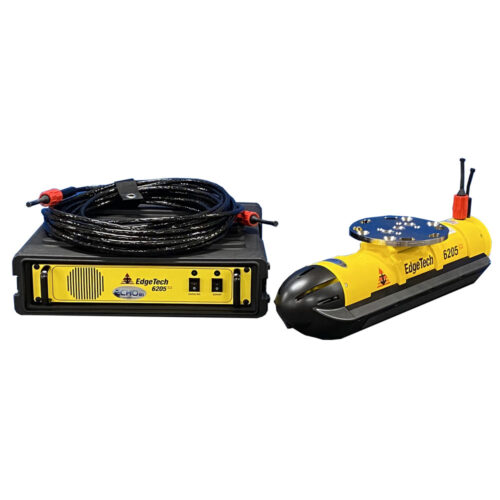
- Option for integrated OEM Inertial Navigation System
- 4th generation MPES (Multi-Phase) technology
- Co-registered simultaneous dual frequency side scan data
- Bathymetry data which is IHO SP-44 Special Order compliant
- Gap-fill side scan sonar and bathymetry data
- Bathymetry backscatter data
- Motion Tolerant side scan data
- Swath sectors of up to 200° means far shorter time for data collection
- Optimized Bathymetry modes: Equidistant and Equiangular
- EdgeTech’s Discover Bathymetric control software
- Integrated sound velocity sensor
- Unrivaled swath coverage and resolution in shallow water when compared to other MBES or PDBS sonar.
-
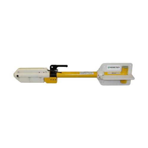
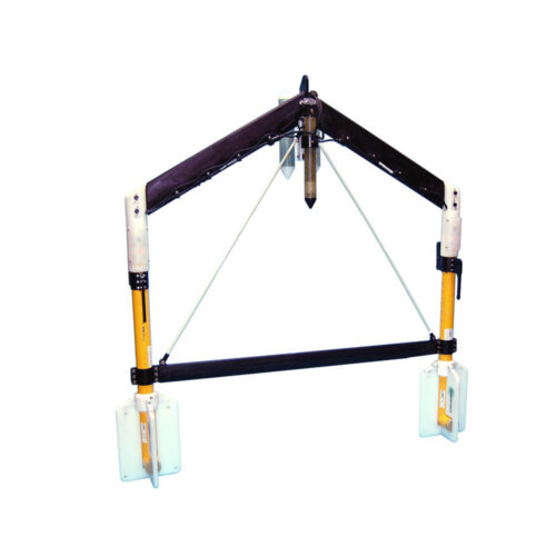 G882 TVG Transverse Gradiometer to supply a fiberglass transverse wing and two G882 cesium vapor magnetometers, altimeter, and depth (pressure) sensor supplied with 60V Deck Power Supply Junction box, 150-meters of soft tow cable, tool kit, serial cable, USB-to-Serial adapter, power supply, USB drive with Geometrics configuration software and user manuals, and transit cases.
 -
 G882 TVG Transverse Gradiometer Equipment rental to supply a fiberglass transverse wing and two G882 cesium vapor magnetometers, altimeter, and depth (pressure) sensor supplied with 60V Deck Power Supply Junction box, 150-meters of soft tow cable, tool kit, serial cable, USB-to-Serial adapter, power supply, USB drive with Geometrics configuration software and user manuals, and transit cases.
 -
 DREDGEPACK: is the complete dredging solution. This license enables control of cutter suction, hopper, excavator, and bucket dredge operations. Improve efficiency and monitor the digging operations with DREDGEPACK, providing the design tools to accurately model almost any dredge plan. This license is not for hydrographic surveying.
 -
 HYPACK ECHO: is the basic and economical software package for single beam bathymetric surveys. ECHO supports single vessel (remote, autonomous or traditional) single beam (including dual frequency) survey mission planning, navigation, data acquisition and processing. ECHO includes HYPACK Single Beam Editor for data review, cleaning, thinning, and generating XYZ files and exporting DXF contours.
 -
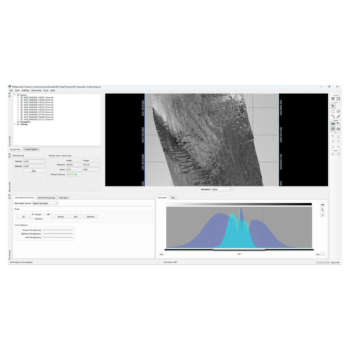
 HYPACK GEOPHYSICS combines all of the tools required for geophysical surveys in a centralized, easy to use interface. GEOPHYSICS supports side scan, sub-bottom and magnetometer survey planning, navigation, and processing, including interfaces for more than 30 devices. GEOPHYSICS includes search and recovery (SAR) survey and targeting tools. Collect and mosaic side scan data in real-time or in postprocessing.

