-
 Onsite Installation, Integration & Training Services Onsite support to provide assistance with installation and integration and includes crew training. Rate charged for three (3) days onsite and two (2) half travel time. Does not include travel expenses.
 -
 Training Onsite - ECHO81 HQ ECHO81 onsite training, up to x4 personnel at a time and includes all equipment and vessel necessary to conduct the training including lunch. x5 days on site includes on water and office training or 5 days can be on towed and positioning systems. Choice of the following: - Multibeam/Bathymetry -Installation/Calibration/Collection - SSS/MAG/SBP/Winch including termination and USBL.
 -
 Training Onsite Customer Location Customer onsite training, up to x4 personnel at a time and includes all equipment and vessel necessary to conduct the training including lunch. x5 days on site includes on water and office training or 5 days can be on towed and positioning systems. Choice of the following: - Multibeam/Bathymetry -Installation/Calibration/Collection - SSS/MAG/SBP/Winch including termination and USBL.
 -
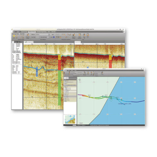
Overview
- Processing of all Innomar data formats, including SES3 files.
- Handling of 16/24/32-bit and multi-channel data files.
- Similar "look'n'feel" as the Innomar SESWIN on-line control and data acquisition software.
- Intuitive handling of 2D data sections with free zoom levels and undo/redo.
- Project-based workflow, but can also be used to view/process single data files.
- Integrated GIS-browser builds the file handling base.
- GIS map synchronized with seismic section view (cursor, track cross-points, picked targets and ground-truth positions).
- Processed and interpreted data can be exported into various industry-standard data formats, including ASCII, DXF, 3D grids.
-
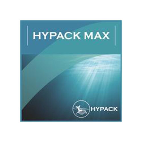 HYPACK MAX & HYSWEEP Software Equipment rental to supply a license of HYPACK & HYSWEEP acquisition and processing software. Comes with USB hard lock key for activation and software may be downloaded from manufacturer's website.
 -
HYPACK MAX Equipment rental to supply a license of HYPACK Max acquisition and processing software. Comes with USB hard lock key for activation and software may be downloaded from manufacturer's website.
-
 SonarWiz SS & SBP Processing Software Software rental to supply a license of SonarWiz for processing side scan, sub-bottom, and magnetometer data. Activation may be provided as a USB or soft lock authorization code.
 -
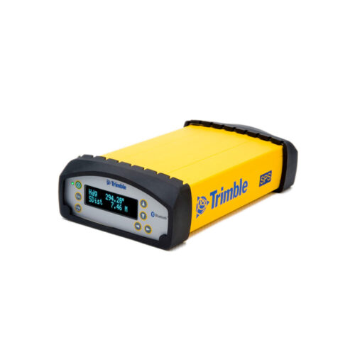 Trimble® SPS851 Modular GPS Receivers are ideal for semi-permanent or permanent base station setups, construction rover applications as well as marine based applications. Now heavy and highway contractors have the ideal base station to support grade checking, site measurement and stakeout. The receivers can be utilized as a rover with a controller in a site supervisors vehicle or on a pole. Modular Design Means Flexible Set Up The Trimble SPS851 receivers combine the radio and GPS receiver in a single housing. This allows contractors to secure the majority of their investment inside a site trailer or carrying case, protected from the elements and theft, leaving only the antennas outside. The antennas can now be located clear of obstructions and provide maximum radio coverage on site.
 -
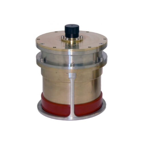
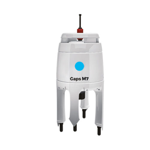 iXblue GAPS M7 Equipment rental to supply of GAPS M7 pre-calibrated USBL system. Optional accessories include Applied Acoustics 1100 or 1130 Transponder and an OTS pole mount.
 -
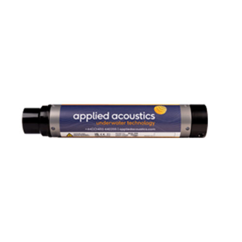 Applied Acoustics 1100 Series Mini Beacons Equipment rental to supply of tracking and positioning 1500-2000m depth rated MF Omni or Directional transponder with 150-200dBar pressure sensor with battery charger including shipping case.
 -
 Kongsberg uPAP 200-NEL Portable System Equipment rental to supply the uPAP 200-NEL Portable system designed for tracking ROV's, towfish, divers and other subsea objects at several thousand meters range. Comes with portable operator unit, uPAP 200-NEL transducer, 25m cable, APOS base version for uPAP, and instruction manual.
 -
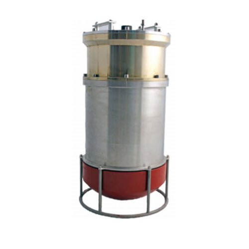 Kongsberg 352P MGC R3 USBL System Portable system designed for tracking ROV's, towfish, divers and other subsea objects at several thousand meters range. The system operates in SSBL mode where it measures the distance and direction to subsea transponders and computes a 3D position in local coordinates or in geographical coordinates. Built-in MGC RT inertial measurement unit for roll/pitch and heading compensation. No need for calibration to determine roll, pitch and heading alignments.
Contact us at +1 (706) 522-3022
TOP NEWS!
481 S. Jackson Street
Hartwell, GA 30643
Shop
Your account
Subscribe to our newsletter.
Join our emailing list to receive all up-to-date information from ECHO81
© Copyright 2016 - 2025 | ECHO81 | All Rights Reserved | Powered by ECHO81