-
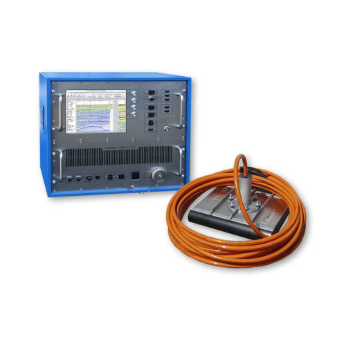
Included Features
- Heave, Roll and Pitch beam stabilization
- 24-bit SLF full waveform data acquisition / Innomar "SES3" data format
- Multi-ping mode for maintaining a high pulse rate in deep waters
- Multi-frequency signals
- LFM chirp (full SLF band)
- Barker coded pulses for safe bottom track also in multi-ping modes
- Linear sub-bottom profiler / SBES echosounder mode (12/15/18 kHz CW and 12 – 18 kHz FM chirp pulses)
- Bottom slope control
- KVM extender for remote control
- SESWIN basic remote-control via COM / UDP (e.g. line start/stop, line name)
- Transducer frame with integrated shock absorbers for hull-mounting
-
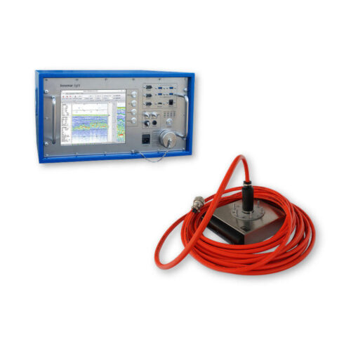
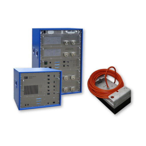
Included Features
- Heave / Roll beam stabilization
- 24-bit SLF full waveform data acquisition / Innomar "SES3" data format
- Multi-ping mode for maintaining a high pulse rate in deep waters
- Multi-frequency signals
- LFM chirp (2 – 7 kHz)
- KVM extender for remote control
- SESWIN basic remote-control via COM / UDP (e.g. line start/stop, line name)
- Transducer frame with integrated shock absorbers for hull-mounting
-
Overview
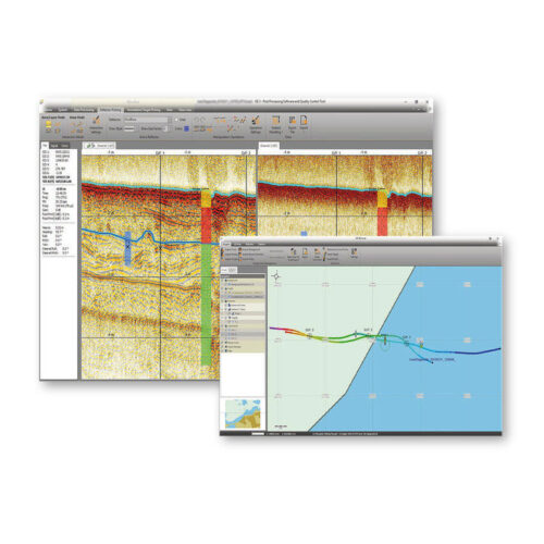
- Processing of all Innomar data formats, including SES3 files.
- Handling of 16/24/32-bit and multi-channel data files.
- Similar "look'n'feel" as the Innomar SESWIN on-line control and data acquisition software.
- Intuitive handling of 2D data sections with free zoom levels and undo/redo.
- Project-based workflow, but can also be used to view/process single data files.
- Integrated GIS-browser builds the file handling base.
- GIS map synchronized with seismic section view (cursor, track cross-points, picked targets and ground-truth positions).
- Processed and interpreted data can be exported into various industry-standard data formats, including ASCII, DXF, 3D grids.
-
Included Features
- SLF full waveform data acquisition (sub-bottom data) / Innomar "RAW" data format
- 24 bit SLF full waveform data acquisition / Innomar "SES3" data format
- Multi-ping mode for maintaining a high pulse rate in deep waters
- Multi-frequency signals
- SESWIN basic remote-control via COM / UDP (e.g. line start/stop, line name)
-
Included Features
- Heave / Roll beam stabilization
- 24-bit SLF full waveform data acquisition / Innomar "SES3" data format
- Multi-ping mode for maintaining a high pulse rate in deep waters
- Multi-frequency signals
- LFM chirp (5 – 15 kHz)
- KVM extender for remote control
- SESWIN basic remote-control via COM / UDP (e.g. line start/stop, line name)
-
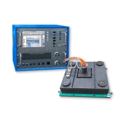
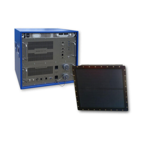
Included Features
- Heave / Roll beam stabilization
- 24-bit SLF full waveform data acquisition / Innomar "SES3" data format
- Multi-ping mode for maintaining a high pulse rate in deep waters
- Multi-frequency signals
- LFM chirp (3 – 12 kHz)
- KVM extender for remote control
- SESWIN basic remote-control via COM / UDP (e.g. line start/stop, line name)
- Transducer frame with integrated shock absorbers for hull-mounting
-
Included Features
- Roll or Pitch beam stabilization
- 24-bit SLF full waveform data acquisition / Innomar "SES3" data format
- Multi-ping mode for maintaining a high pulse rate in deep waters
- Multi-frequency signals
- LFM chirp (5 – 15 kHz)
- SESWIN basic remote-control via COM / UDP (e.g. line start/stop, line name)
- external AC power adapter (100–240 V AC)